Relatives
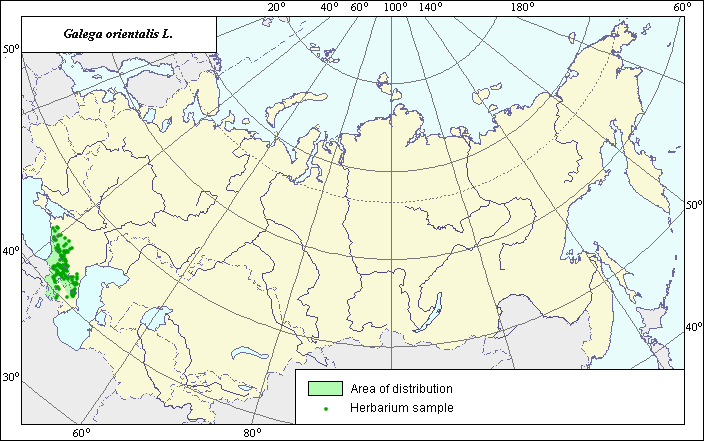
The Area of Eastern galega, fodder galega (Galega orientalis L.)
 Object description Download GIS-layers
|
|

RelativesThe Area of Eastern galega, fodder galega (Galega orientalis L.) Object description Download GIS-layers
Authors:N.I.Dzyubenko, N.V.TerekhinaDate of creation:24.06.2003.Scale:1:20.000.000.Accuracy of a map:it is created on materials of maps of natural scale 1:8.000.000-1:80.000.000.Projection:Alber.s Equal Area Conic for RussiaBasic contents:polygons demonstrate zones of continuous distribution.Accuracy of the classifier:Borders of area correspond with the extreem point of species distribution.Procedure of map composition:The points map (Grossgaim, 1952) was taken as a base for creation of polygon map.Sources of the data:Grossheim A. A. Galega genus. Flora of the Caucasus. 1952, v.5, pp. 234-235Right and copyright:Copyright on this map and description belongs to its authors |
|
|
|
|
Web design — |