
Relatives
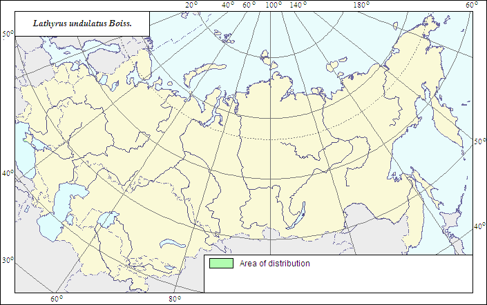
Range of distribution of Lathyrus undulatus Boiss. (Wavy Pea)
 Object description Download GIS-layers
Authors:
The expert-botanist - T.N.Smekalova,the GIS expert - R.S.Ushakova.
Date of creation:
18.12.2006Scale:
1:20 000 000.Accuracy of the map:
The map is based on data of 1:20 000 000 and 1:25 000 000 scale maps, corrected according to herbarium materials.Projection:
"Albers Equal-Area Conic Projection for USSR", 9, 1001, 7, 100, 0, 44, 68, 0, 0Basic contents:
The map is a vector file consisting of a polygon, which represents the area of possible species distribution.Method of the map construction:
The main part of the species range is situated in Asia Minor (Turkey). In the former USSR, there is the northern part of the general range of the species which is distributed in the southern, mountain part of the Crimean Peninsula (forest glades of the southern slopes of Nikita Yayla). The species range is represented by a polygon constructed after published data (Fedorov, Tzvelev, 1987) and data of the ILDIS database (Roskov et al., 2005).References:
Roskov YR. et al. 2005. ILDIS World Database of Legumes. [Online] Available at: http://www.ildis.org/LegumeWeb?version~10.01&LegumeWeb&tno~6157&genus~Lathyrus&species~undulatusWulf EV. 1960. Flora of Crimea. V.2, iss.2. Moscow. P.257. (In Russian).
Fedorov AA., Tzvelev NN., eds. 1987. Flora of the European part of the USSR. V.6. Leningrad: Nauka. P.153. (In Russian).
Cherepanov SK. 1995. Vascular plants of Russia and adjacent states (the former USSR). St.Petersburg. 990 p. (In Russian).
Rights and copyrights:
The copyrights of the map and descriptions are held by their authors.The copyright of the photo is held by I.G.Chukhina (WIR).